
Thunderstorms, high winds, and snow are all part of the weather mix predicted to hit the Naperville area on Sunday into Monday.
Storms and high winds in the afternoon
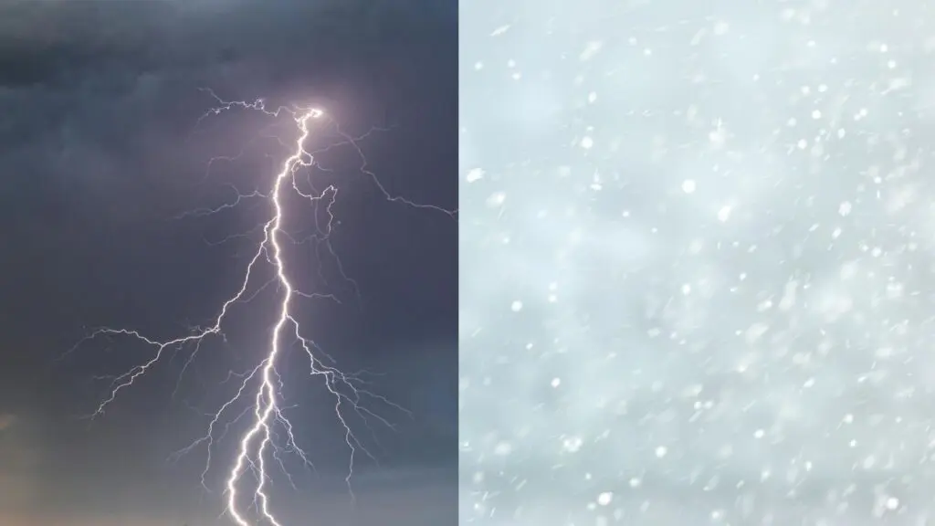
The National Weather Service says Sunday morning will bring gusty winds and showers with occasional lightning. But the more worrisome weather, they say, will come later. The region is under a wind advisory today from 1 p.m. to 9 p.m.
And a stronger round of storms is expected to move through from 4 p.m. to 9 p.m. That front will bring lightning strikes, damaging winds, and a series of downpours, making for hazardous travel.
Rain changes to snow Sunday night
But behind that rain will be snow, with the transition in the weather mix coming Sunday night into Monday. Moving in will also be northwest wind gusts of up to 50 mph. Forecasters say that switch will likely happen in DuPage County around 9 or 10 p.m., and in Will County after midnight, with a winter weather advisory in place for Naperville from 10 p.m. tonight until 1 p.m. on Monday.
Accumulations of 1 to 3 inches are expected.

Image courtesy: NWS Chicago
Hazardous travel conditions likely
The high winds will create blowing snow which will lead to periods of low visibility and snow covered roads. Travel will be hazardous, with the morning commute on Monday likely to be affected. Bridges and overpasses in particular are prone to becoming slick.
Forecasters say the biggest threat for blowing snow will be northwest of I-55. Those hazards should start to taper off around 6 p.m. in both DuPage and Will counties.
Road conditions for the area can be monitored on the Getting Around Illinois website.
Sharp drop in temperatures
Temperatures will also take a sharp drop, with Sunday’s high set for 60 degrees, and Monday’s just 23 degrees.
If you have a story idea, send us a tip!