
The National Weather Service (NWS) has issued a winter weather advisory for DuPage, Lake, and northern Cook counties starting at 3 p.m. today, lasting through 7 a.m. on Friday.
Winter weather mix anticipated, more snow to the north
Wet snow is predicted, with total accumulations of two to four inches expected near the I-88 corridor. Areas further north may get more snow, with four to seven inches possible closer to the Wisconsin border.
Precipitation starts as rain, shifts to mix in evening, then snow
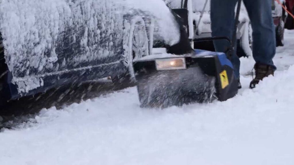
In the Naperville area, the precipitation will start as rain, then transition to a rain/snow mix by early evening, with snow to follow in later hours. The National Weather Service says that snow that does fall is expected to be heavy and wet, so shoveling may be hazardous.
Messy roadways expected
Travel may become hazardous during the evening commute and into the night. Drivers are asked to use extra caution, slow down, and allow more time for their trip. Road conditions can be checked on the Getting Around Illinois website. If the Naperville area does see snow, winter updates are available on the city of Naperville website. Residents can also check on snow removal efforts on that same website, through the city’s interactive snow removal map.
Residents are also encouraged to sign up for notifications from the city of Naperville through its Naper Notify system. That system sends out alerts for important community notifications such as winter operations, special event alerts, public safety alerts, or utility outages.
If you have a story idea, we want to hear from you!